

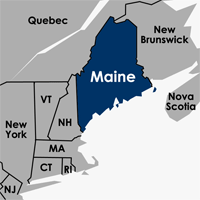

I went to Google Maps to see how far Portland was to Fort Kent, Maine up at the very top of the state. Turns out by their calculations it's 314 miles, driving time of about 5:54.
View Larger Map
This got me wondering how far other places are from Portland.
So I typed in the generic "New York City" - found out they're ... 314 miles away as well.
Huh.
View Larger Map
We're smack-dab in the middle of Fort Kent and New York.
I mentioned that to Liz, and she said something to the effect of, "not just geographically - we can get by in either society, too." But she said it much better than that.